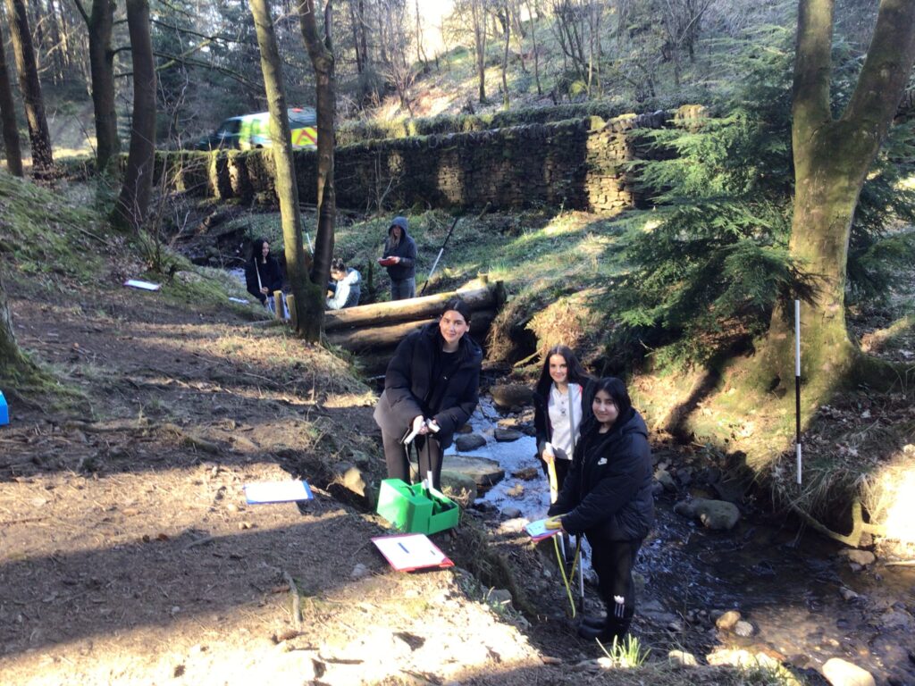
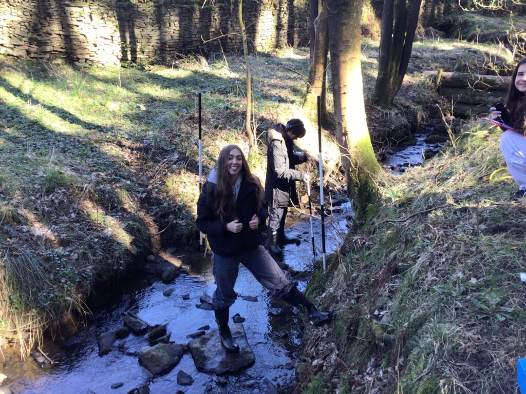
Throughout three days of fieldwork in March, Loreto geographers visited the River Bollin in East Cheshire as part of their Water and Carbon cycles studies. Loreto’s Geography Department had over a hundred upper sixth students take part in collecting primary data to gain a deeper understanding of drainage basin systems.
Firstly, students headed to Macclesfield Forest, where the river’s source is located. This allowed students to collect a range of data, including land uses, infiltration rates, river discharge and flood risks.
After this, students went to Prestbury, where the river also passes. The river flows through the village, forming a shallow river valley. Here, students repeated the data collection techniques to contrast the two sets of data, observing how the river changes from upstream to downstream. This was then used to test hypotheses regarding discharge, infiltration rates, land use characteristics and flood risks.
Evie, an upper sixth A-Level Geography student, described the trip as: “A fun-packed day out that allowed us to develop a wider range of geography skills and a clear analysis of how rivers work”.

